


Satellites provide the positioning reference
A GNSS receiver uses signals from satellite constellations to estimate its position and time. GPS is one constellation within GNSS. The satellites do not normally receive your fleet's position from the tracker or deliver it to your business dashboard. Reception depends on the environment, antenna and installation. Buildings, covered parking and reflections can degrade the result; a coordinate should not be interpreted as an infallible measurement.
The tracker builds a record
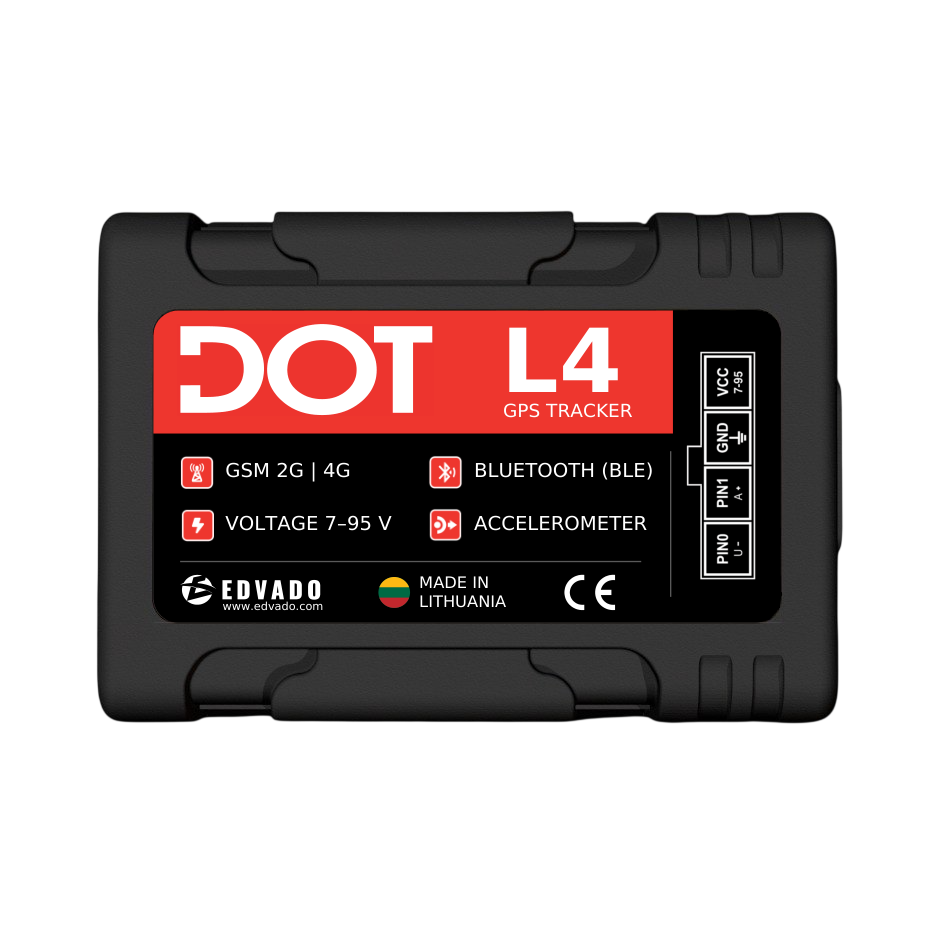
The device can combine position and time with supported inputs or sensors. Which fields are present depends on the model, configuration and firmware. Recording may be periodic or triggered by configured events. The DOT L4 documentation describes GNSS, mobile communication and BLE capabilities, but the presence of an interface does not establish support for every external sensor. Confirm the exact measurements your project requires.
Communication carries data to a server
For a cellular tracker, a SIM and mobile data connection normally provide the path to the receiving server. Coverage, APN, roaming, destination and network availability matter. Positioning and communication are independent: a tracker may know its position without being able to send it. Devices with documented offline storage may deliver stored records later; this must be verified for the selected model and settings, not assumed for every tracker.
A protocol gives the data meaning
The server needs to understand the transmitted format. A field can represent coordinates, a timestamp, a voltage or a sensor value; units, scaling and special values are essential. A connection accepted by the server is not proof that all fields are decoded correctly. EDVADO's Developers Wiki is the technical reference for the published protocol material. Use it with the documentation for the actual device rather than inventing an API or a field mapping.
The platform turns records into useful information
Monitoring software can organise received records into maps, journeys and reports according to its available functions and configuration. It may need rules for stops, ignition or alerts. Locavist is presented on the EDVADO site as a vehicle-monitoring solution; discuss the required workflows and device integration for your project. DOT Configurator is a different layer: device configuration and management, not a substitute for every fleet-monitoring workflow.
Example: a journey with a coverage gap
Imagine a vehicle entering an area without mobile coverage while still receiving GNSS. If the chosen tracker is configured and documented to store records, the route may appear after reconnection. In a demonstration timeline, a position measured at 10:00 could arrive at 10:07. These times illustrate a delay, not an actual service guarantee. The platform should distinguish the record time from arrival time where available. Delayed history is not the same as live visibility.

Diagnose from the source towards the screen
Start with power and device state, then positioning, network connection, server receipt, decoding and platform display. A stale icon can result from any of these stages. Compare the last trustworthy update time with the required reporting interval. A straight line across a gap is not proof that the vehicle followed that exact path. Treat missing measurements as missing rather than filling them with invented precision.
Build a solution around decisions
List the business questions, necessary fields and acceptable delays before choosing hardware. A temperature project adds a sensor and a verified payload mapping; fuel monitoring adds a measurement method and calibration where needed. Pilot the full chain on representative vehicles. Explore DOT trackers, Documentation and Locavist, then send EDVADO your vehicle list, operating countries and desired reports. That produces a more useful B2B proposal than asking for an unspecified “GPS system”.